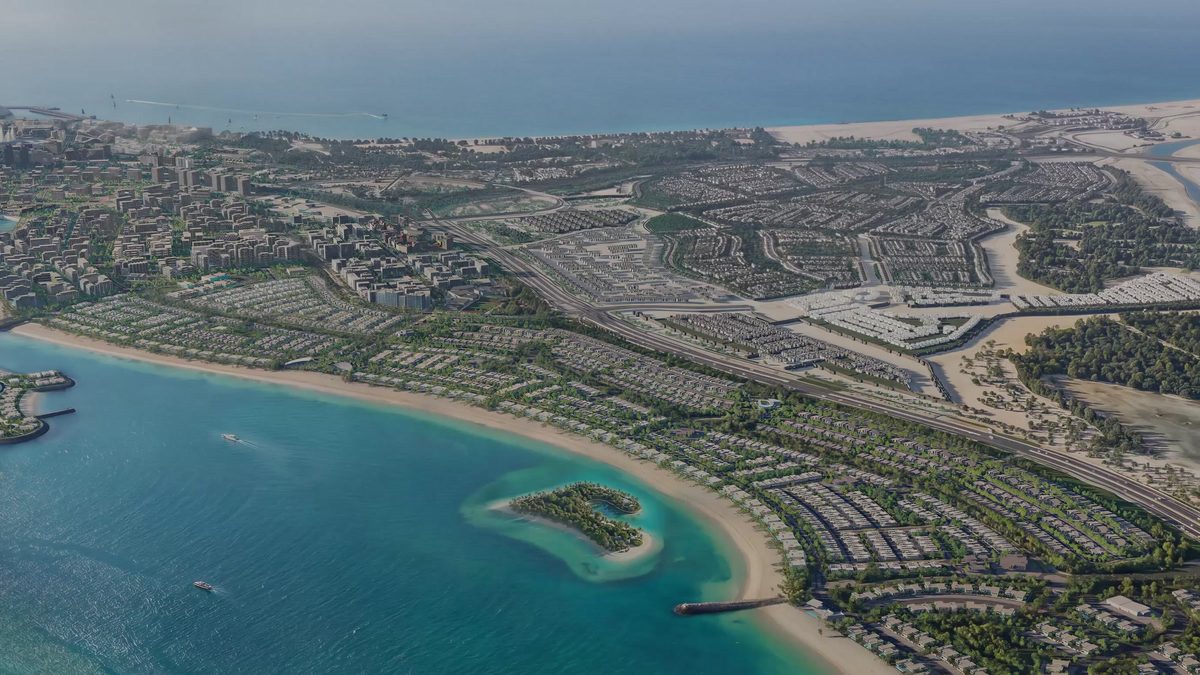
Marsa Al Saadiyat location on Saadiyat Island
Saadiyat Island
An address defined by what was built next to it first
Saadiyat was given its museums before it was given its housing, and that order is unusual enough to matter. The Louvre Abu Dhabi is on this island. So are Zayed National Museum, the Natural History Museum and teamLab Phenomena; the Guggenheim Abu Dhabi is still going up.
The teaching came with them. NYU Abu Dhabi and Berklee Abu Dhabi are here, and so are Cranleigh, Harrow International and the American Community School.
The water
Eight kilometres of it
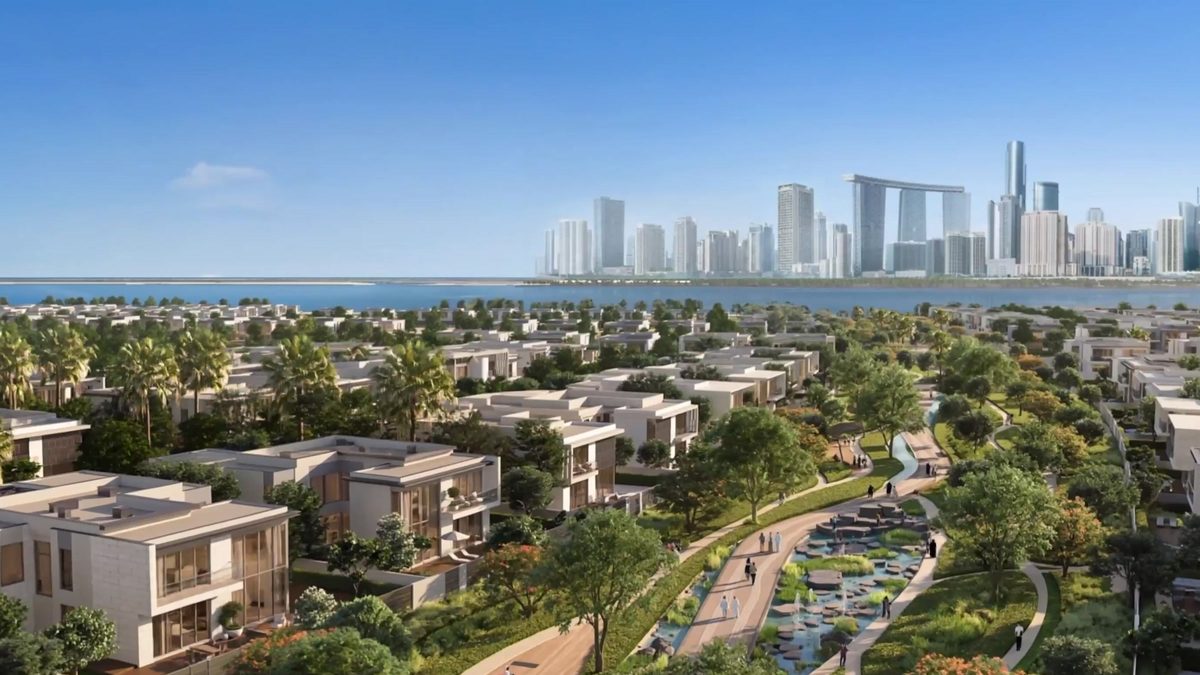
Marsa Al Saadiyat runs along eight kilometres of waterfront, with 5.6 kilometres of beach and a marina taking up to 350 berths — the largest the emirate has. The retail and dining promenade runs a kilometre of that frontage.
Umm Yifeenah lies off it, and Reem Island sits between here and the mainland. Etihad Rail will connect the island to the rest of the country.
Distances are measured, not quoted
How far the airport actually is at the hour you would drive it, which school gate is nearest which plot, how long the walk to the beach really takes. Ask and we measure it. We would rather answer slowly than repeat a brochure.
Drive times from the quarter
We measured these distances ourselves on the road network rather than copying a brochure. An estimate outside the rush hour, not a promise.
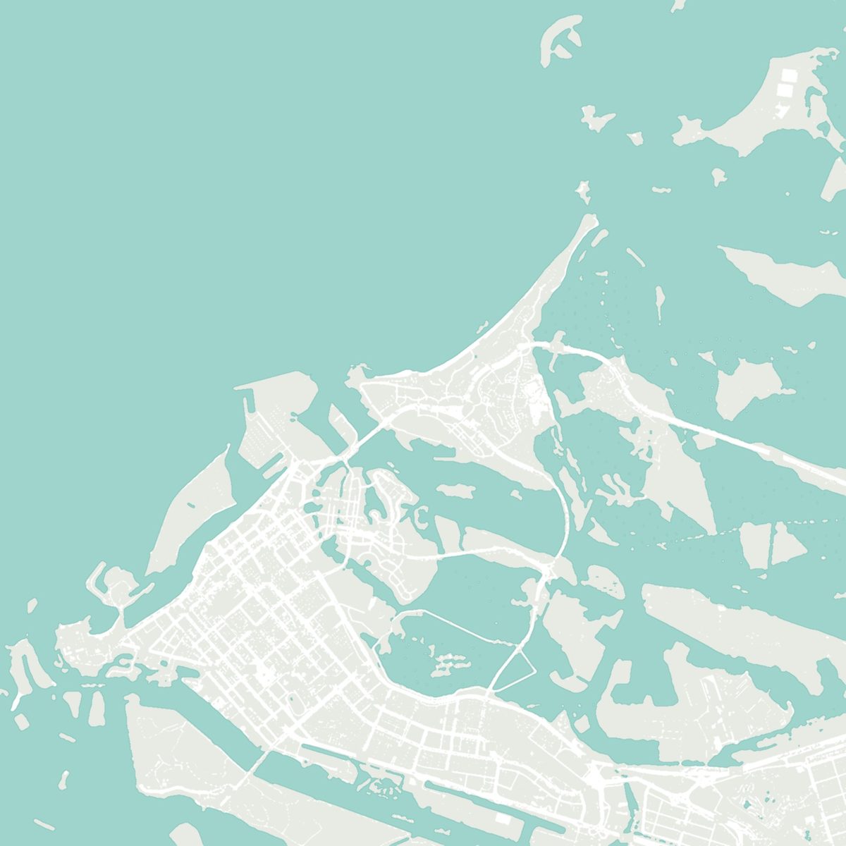
Marsa Al Saadiyat
- 1Saadiyat Public Beachabout 15 min
- 2Louvre Abu Dhabiabout 20 min
- 3Zayed National Museumabout 20 min
- 4NYU Abu Dhabiabout 15 min
- 5Al Maryah Island, ADGMabout 20 min
- 6Abu Dhabi Cornicheabout 25 min
- 7Zayed International Airportbeyond the frame — direction onlyabout 35 min
- 8Yas Islandbeyond the frame — direction onlyabout 30 min
Computed on today's road network from open map data, September 2026 (OSRM). The district's own roads are not built yet, so these times may change once they open.
Talk to us
Ask what is nearby
Tell us what matters — a particular school, the beach, the drive to the airport — and we come back with it measured rather than quoted.